
Looking Up Your La Mesa Neighbors
A block lookup combines the source that maps a place with the source that names a record role. SanGIS and assessor maps show the subject parcel and the lots around it. The secured roll supplies an APN and assessment context, while the assessor’s phone or kiosk route can answer a selected ownership or mailing question. Historical directories add earlier householders. Voter data is not an open block directory, and community groups decide what contact information they publish.
| Source | What it shows about a block | Access |
|---|---|---|
| Assessor parcel map | Touching lots, APNs, dimensions, streets, map references | Web maps, kiosks, or map request |
| Assessor Public Information | Selected ownership, mailing, situs, sales, and characteristics | 619-236-3771 or ARCC kiosk |
| SanGIS / city GIS | Parcel and boundary geography, district context | Free map layers; popups vary |
| Historical reverse directory | Address sequence, past householders, phones, businesses | History Center or SDPL, often onsite |
| Voter-file channel | Statutory fields for an approved purpose | No personal block browsing |
| Community contact pages | Program or organization contact point | Public page; no roster implied |
The table shows why neighbors cannot be read from one source. An owner may live elsewhere, a household member may never appear in a deed, and a historic name may predate the current parcel label.
Map La Mesa Neighbor Parcels
The verified adjacent-parcel method is visual and manual. There is no confirmed public radius or buffer tool in the research capture. Start with a known address, resolve its APN, open the assessment map, and read the APNs on the shapes that touch or surround it. Then request selected details one parcel at a time. A visual boundary is an assessment aid, not a survey.
- Check the address in the county secured roll and note the APN and situs form.
- Open SanGIS or the ARCC map layer and identify the subject parcel’s adjoining APNs.
- Compare street widths, map references, and lot shapes before treating a parcel as a direct neighbor.
- Use the assessor phone route or kiosk for lawful owner, mailing, or sales detail on a selected APN.
- For the full named street, switch to the address chain rather than expanding an informal radius.
The SanGIS mapping gateway and SanGIS/SANDAG open-data catalog provide the regional map layer. The city’s Interactive Maps hub adds local planning context, but dynamic field and popup behavior was not verified.
- Adjacent parcel
- A mapped lot that shares a boundary or street edge with the subject parcel.
- APN
- The assessor parcel number used to request a precise property record.
- Buffer
- A distance-based map area; no verified public La Mesa buffer tool was found.
- Occupant
- A person using a place, a fact that property records do not reliably establish.
La Mesa Neighbor APNs and Owners
Ownership detail is the bridge between a map and a named property record. California Government Code § 7928.205 keeps assessor owner names off the public Internet. The public secured roll can still return an APN, assessed value, base-year context, and characteristics. Use 619-236-3771 or an ARCC kiosk for the lawful channel that supplies ownership, mailing versus situs, sales, maps, and other available detail.
Deeds offer a second check. Search the Recorder’s grantor and grantee index from 1970 forward, then view an image at a kiosk or order paper copies. A recorded owner is a title role. It is not proof that the person currently occupies the house, and a mailing address can belong to an entity, trust, agent, or absentee owner.
When the question is about a person rather than a parcel, compare a middle name, date, public address, business affiliation, or court association before joining two records. Neighbor clues should narrow a place, not create certainty about a living household.
La Mesa Neighbor Geography: Village and Cul-de-sac
La Mesa’s street form changes across its neighborhood eras. The Village grid near La Mesa Boulevard and University Avenue reads differently from northern and eastern postwar subdivisions, where curved streets and cul-de-sacs complicate a simple “next door” assumption. Downtown Village, La Mesa Highlands, Boulder Heights, Brier Tract, Grossmont, Mt. Helix, Fletcher Hills, and La Mesa Knolls are useful place labels, but a familiar name does not prove a city boundary or group membership.
Address research should match the map to the era. A straight grid may make a street-guide sequence easy to follow. A curved subdivision may require the parcel map and adjoining APNs. ZIP labels can also extend beyond the incorporated line, so confirm 91941 or 91942 against the city address list before choosing a permit or code custodian.
That geography changes the meaning of “neighbors.” It can mean parcels that touch, addresses on the same street, or households named in a historic directory. State which meaning the record supports.
La Mesa Neighbor Voter Rules
California My Voter Status is a self-service check for the authenticated user. It does not browse names on a La Mesa block. A county voter-file application requires an approved electoral, scholarly, journalistic, political, governmental, audit, or related purpose and carries statutory restrictions on use and dissemination. Elections Code §§ 2188 and 2194 protect specific fields, including driver-license data, Social Security digits, and signatures.
County materials describe a tab-delimited voter file with name, birth date, registration date, residence and mailing address, precinct, contact information, party preference, and status fields for an approved recipient. Optional history reports show election, date, and method, never ballot choices. A street-wide personal directory is not a “specific voter record.”
Useful boundary. A voter file can support an authorized election or research purpose. It is not a casual way to list La Mesa neighbors around a home address, and a self-lookup cannot confirm another person.
Safe at Home participants can use confidential voter registration. A missing voter result may reflect the law’s access boundary rather than an absent registration.
La Mesa Neighbor Community Contacts
Public community pages can help a person meet a neighborhood through an official channel, but they do not turn voluntary groups into resident directories. The research found no comprehensive official neighborhood-association or membership list. The useful contact layer is narrower and more honest:
| Neighborhood Watch | La Mesa Police Neighborhood Watch; a crime-prevention contact route, not a public member roster. |
|---|---|
| City boards and commissions | La Mesa civic appointments; public meeting and participation layer, not a block list. |
| La Mesa Chamber | Chamber business directory; public businesses, addresses, phones, and some owner information, not households. |
| Local history collections | History Center vertical files, oral histories, and civic records can document past ties without exposing a current private roster. |
La Mesa Village Association is described as a downtown merchant and community organization. Its public role does not imply that every nearby business or household belongs to it. Contact the group through its own published channel when one is available.
See the La Mesa Neighbor Contact Layer
The official Neighborhood Watch page shows the public safety contact layer that is available for a La Mesa block.
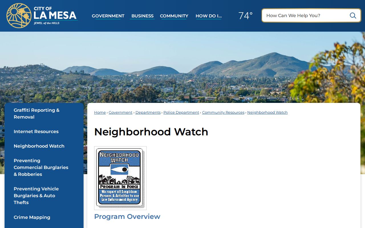
The page gives a way to connect with the program without exposing a list of participants. That is the proper shape for a community directory.
The city’s boards and commissions page provides a different civic layer. It identifies public roles and meeting participation, not nearby household composition.
These contacts can help with a local question or public meeting. They cannot authenticate who lives on the next parcel.
Earlier La Mesa Neighbors in Street Guides
Historical reverse directories can place a block in time. Polk’s green-page Householders’ Directory and Street and Avenue Guide runs addresses in sequence, notes intersecting streets, and can show householders, phones, and owner or occupant marks. The alphabetical pages then add spouses, work, or household clues. This two-way format lets a researcher move from an address to a surname and back again.
The La Mesa History Center states directory coverage from 1887-1973 in aggregate. San Diego Public Library holds city directories from 1886-2021 onsite, while digitized San Diego runs cover 1887-1925 and 1925-1960. Search the exact edition and record the page because a later book may alter a street number or omit a household.
For a whole named street, use the La Mesa by-street address chain. The block method here stays smaller: map the parcels touching one address, then use a historic directory to understand the people and businesses recorded there in a chosen year.
La Mesa Neighbor Tools Compared
Compiled search tools can look broad because they combine property, phone, court, marketing, and change-of-address clues. Official records look narrower, but their source and custodian are visible. A block question deserves the second standard.
| Comparison | Official source chain | Compiled search category |
|---|---|---|
| Place | APN, map, situs, legal description | May merge old and new address data |
| Person | Recorded role, public office, or historic entry | May join namesakes or stale clues |
| Access | Custodian rules, kiosk, library, request, or public portal | Provider terms and possible fees |
| Confidence | Can be checked against the underlying office | Lead only until returned to the original record |
Neither category can reveal private utility customers, delivery records, protected addresses, or a complete list of people in a home. A broader result set is not the same as better evidence.
La Mesa Neighbor Lookup Privacy
A La Mesa neighbor lookup can establish parcel geography, selected ownership evidence, historical household entries, public civic contacts, or an approved record purpose. It cannot establish every current occupant. Other occupants, household members, utilities, deliveries, DMV data, private group rosters, and Safe at Home addresses remain outside a casual block search.
Lawful use. Use neighbor records for getting to know a block, reconnecting through a public institution, property history, civic curiosity, or personal safety awareness. Do not use them to stalk, harass, intimidate, or cause unwanted contact. Stop when the next fact would require protected data.
Keep a source note for each parcel and date. If a person is the real question, use a record-by-record verification path rather than treating a map as a people list. If a whole street is the goal, the address chain has a different method and a different limit.