
La Mesa ZIP Code Areas
Research identifies four La Mesa postal labels with different functions. 91941 is the southern and eastern La Mesa postal area, with addresses inside and beyond city limits. 91942 covers central and northern La Mesa, including City Hall. 91943 is tied to the La Mesa P.O.-box facility rather than residential street geography. 91944 appears on legacy or administrative forms, and its current USPS status was not independently confirmed. The exact address should control the postal conclusion.
| ZIP | Areas Covered | Post Office Function | Local Caution |
|---|---|---|---|
| 91941 | Southern and eastern La Mesa postal area | Address-specific USPS delivery check | Many locations are in the city, but some extend beyond it |
| 91942 | Central and northern La Mesa, including City Hall | Address-specific USPS delivery check | Postal use does not replace a city-line check |
| 91943 | La Mesa P.O.-box service | P.O.-box facility | Not ordinary residential street geography |
| 91944 | Legacy or administrative mailing reference | Current status not independently confirmed | Do not present it as an ordinary residential ZIP |
A postal label is a delivery convention, not a map. It may reach beyond the incorporation line, while a P.O.-box label points to a facility rather than a street. Use a second key before treating a property, permit, deed, or person record as local.
La Mesa ZIP 91941 Boundary Check
The City of La Mesa gives direct guidance on this problem. Its sales-tax and Proposition L page tells people using 91941 or 91942 to consult the official Street Address Listing for city limits. The related La Mesa street address list is a jurisdiction aid, not a resident roster. Business-licensing guidance describes in-city locations as 91942 and most of 91941, a useful pattern but not a substitute for checking the address.
This distinction changes where a request goes. An address inside La Mesa can lead to city permit, planning, code, police, or administrative files. A nearby address with the same label may require a county office or another municipality. Start with the street address and boundary, then use the postal code to organize the search.
Note: A postal match narrows delivery geography; the city address list decides whether a parcel sits inside La Mesa for local records work.
La Mesa USPS ZIP Verification
Use the USPS ZIP Code Lookup when the question is postal, such as confirming the city and ZIP combination attached to a specific address. USPS is the right check for the delivery label. It is not the source for an incorporated-place boundary, an owner name, or a list of people connected to an address.
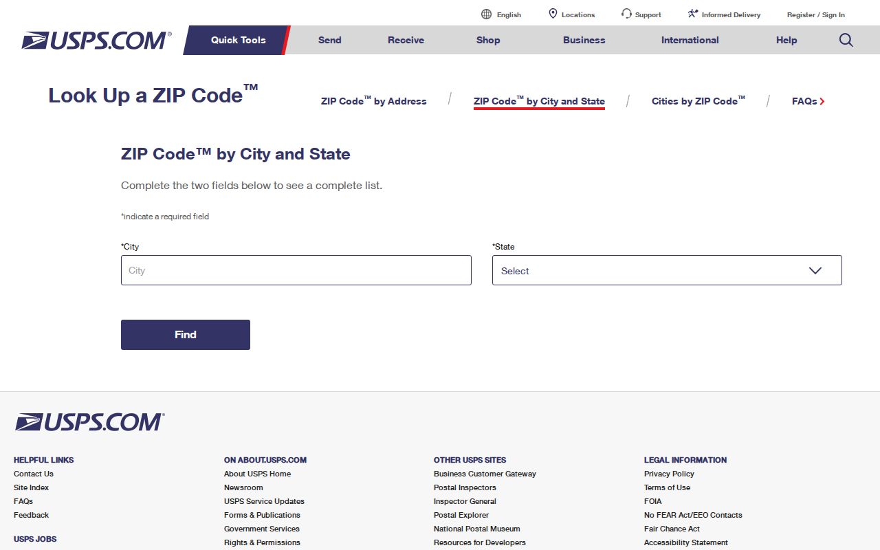
The USPS result can settle whether a submitted address uses a La Mesa postal label, but the city-line question still belongs to the city address list or a boundary reference. Census ZIP Code Tabulation Areas are statistical approximations, not delivery routes or municipal lines. A postal answer and a boundary answer can therefore differ without either source being wrong.
La Mesa's ZIP, City, and APN Keys
Three identifiers often blend in a resident search. A ZIP organizes mail, a city boundary identifies municipal jurisdiction, and an APN joins a physical parcel to county assessment and map records. Keeping those roles separate prevents a postal label from being mistaken for a property record or property role from being mistaken for household occupancy.
| Key | Answers | Best Local Check | Does Not Prove |
|---|---|---|---|
| ZIP | Postal delivery area | USPS address lookup | City limits or current residents |
| City boundary | Whether local municipal records apply | La Mesa address list and boundary map | Postal service or ownership |
| APN | County parcel and assessment join key | Assessor roll, parcel map, and deed trail | Title by itself or who occupies a home |
San Diego County APNs look like 123-456-78-90, and the assessor accepts at least eight digits with dashes. An APN refers to assessor-map geography, not title. Situs marks the parcel; mailing sends notices to an owner, entity, trust, or agent. The two can differ, and neither is a household list.
La Mesa Assessor Search: No ZIP Filter
The San Diego County Secured Assessment Roll Search is useful after a postal result, but the verified search does not offer a ZIP mode. Its search control accepts a parcel number, an address, or a street name. That means a ZIP-wide property sweep cannot be claimed from this portal. Search by the exact address or parcel key instead.
| Search Mode | Input | Required Format | What It Supplies |
|---|---|---|---|
| Parcel Number | Conditional text | At least eight digits with dashes; full form 123-456-78-90 | Parcel assessment match |
| Address | Conditional text | Number and street name; omit direction, type, and city | Address-to-parcel assessment match |
| Street Name | Conditional text | Street only; intended for parcels without numbers | Limited street-name assessment search |
| Search or Clear | Button | Use after selecting a mode | Runs or resets the query |
The public result supplies assessed-value, base-year, and characteristic context, but owner names and mailing addresses are suppressed online under Government Code § 7928.205. Assessor Public Information at 619-236-3771 and free ARCC kiosks can provide ownership, sales, maps, and more through their own access channels.
Note: Street Name is described for parcels without numbers, so it should not be presented as a full numbered-street browser.
ZIP filter limitation. The verified secured assessment roll has no ZIP mode, and no official ZIP-wide resident or owner list was confirmed for La Mesa.
Find La Mesa Residents by ZIP Code
A ZIP-first workflow works when each step resolves a different uncertainty. USPS settles the postal label, the city list settles jurisdiction, and the assessor and recorder connect an address to parcel and document records. People-oriented sources remain restricted, so a ZIP is not a public browse key for names.
- Confirm the postal label. Run the exact address through USPS, or check the city and state combination when only a postal place is known.
- Check the city line. For 91941 or 91942, compare the address with La Mesa's official Street Address Listing and a boundary reference before sending a local records request.
- Move to the address or APN. Use the assessor's Address mode when a street number is known. If a parcel number is available, preserve it as the stable join key for maps and later deed work.
- Bridge property to recorded documents. The ARCC Official Records Index has a free grantor and grantee index for 1970-present, but no online images. Order copies or visit a public kiosk; after December 9, 2024, older and APN searches require an ARCC kiosk.
- Use voter records only through an allowed channel. My Voter Status verifies the authenticated user's registration. A county voter-file request requires a written application, qualifying purpose, and Elections Code §§ 2188 and 2194 restrictions. It is not a personal street directory.
Once a ZIP has narrowed the question to a named street, the La Mesa by Street directory can take over with the address-keyed sequence. The ZIP remains useful as context, while the street address and APN carry the record search.
La Mesa Postal Labels and Record Custodians
La Mesa's municipal desk and San Diego County's record offices answer different questions. The city supplies council materials, permits, planning and code files, police reports, and other administrative records through its City Clerk and published document channels. County ARCC holds the durable real-property, deed, and county vital-record trail. Probate and wills belong to San Diego Superior Court, not the Recorder. The Registrar of Voters controls voter data under a purpose-limited state system.
A postal label cannot choose among custodians. An address that looks local may sit outside the city, while a city parcel may need both city and county records. Use the postal code for sorting, boundary for jurisdiction, and record type for the final office. That check beats a single result.
Published agendas and documents come first. For an existing record not posted, La Mesa's CPRA portal offers Search and Make Request, but cannot create a ZIP roster.
La Mesa Village and Postwar ZIP Geography
Postal labels sit over several La Mesa landscapes. Downtown formed near La Mesa Boulevard and University Avenue. The city's historical timeline records that Lookout Avenue became La Mesa Boulevard in the 1940s after business leaders reacted to a highway bypass. Older records may therefore use a street name that does not match the modern search text.
Postwar construction followed University and El Cajon boulevards, then spread north of I-8. Northern and eastern 1950s and 1960s subdivisions often use curves and cul-de-sacs, unlike the older Village grid. A single ZIP can touch both patterns, so postal search cannot tell whether an address belongs to the historic grid, a later subdivision, or Mt. Helix or Fletcher Hills context. Check the city boundary before assigning those labels to La Mesa records. The historical timeline is available through the City of La Mesa timeline.
La Mesa ZIP Code vs City Limits
Boundary questions become clearer when postal terms stay in their lane. The issue is especially important for 91941 and 91942, while 91943 and 91944 need the cautions in the table. The Census incorporated-place reference can supplement the city list but does not turn a statistical area into a delivery route.
- ZIP code
- A five-digit USPS delivery label used to route mail. It is not an incorporated-city boundary or a current resident list.
- ZIP+4
- Four added digits that refine a delivery segment within a ZIP. The extra digits do not change municipal jurisdiction.
- PO-box ZIP
- A postal code tied to boxes at a facility instead of ordinary street delivery. The research treats 91943 as this kind of postal geography.
- Unique ZIP
- A special postal code assigned to one institution or organization rather than a broad neighborhood.
- Carrier route
- A delivery route used inside postal operations. It is not a public household roster.
- ZCTA
- A Census statistical approximation of ZIP geography, not a USPS delivery route or a city line.
Use the Census La Mesa incorporated-place map with the city list for boundary checks. USPS, Census, assessor, and city records answer different questions; one postal match is not a complete person record.
Note: Postal, statistical, parcel, and municipal boundaries overlap in places, but none of them alone identifies a present household.
What La Mesa ZIP Records Cannot Prove
A ZIP code directory can organize a search, but it cannot prove who lives at an address today. An assessor record describes a parcel and may provide owner or mailing details through a kiosk or phone request. A mailing address may belong to an absentee owner, entity, trust, or agent. Other occupants and household members are not reliably listed. DMV, utility, delivery, and private association data are not public resident rolls.
California voter information has its own boundary. My Voter Status is identity-gated, and voter-file releases require a qualifying purpose under Elections Code § 2194. California's Safe at Home program provides eligible participants a substitute mailing address and confidential mail forwarding, but does not erase earlier public records. A missing name or unexpected match may reflect these rules, not a clear answer about residence.
Lawful personal research. Use La Mesa postal and public-record clues for a legitimate family-history, property, or civic question. California Penal Code § 646.9 addresses stalking, and § 653.2 addresses electronic publication of identifying information with intent to cause unwanted contact, injury, or harassment.
Verify important conclusions with the custodian. A postal label is context, an APN a join key, and a city line a jurisdiction test. None proves a person's current household, contact details, or private life.