
Sources for La Mesa Previous Residents
Previous residents appear in layers. Deeds establish recorded transfers. Reverse directories place named householders at an address. Census schedules add household structure through the latest public release. Obituaries and probate can close a life trail, while permits and maps date changes to the physical place. Each source has a keeper and a gap, so a strong address history starts with a coverage map rather than one search box.
| Source | Years it covers | Where held | What it shows |
|---|---|---|---|
| ARCC web index | 1970-present | San Diego County Recorder | Grantor, grantee, date, document type, number |
| Historic deed and index books | 1845-1969 routes | ARCC kiosks and archives | Older instruments, indexes, APN and image paths |
| La Mesa directory shelf | 1887-1973 aggregate | La Mesa History Center | Householders, street sequence, phones, occupations |
| San Diego city directories | 1886-2021 onsite | SDPL California Collection | Regional surname and reverse-address entries |
| Census schedules | Through 1950 public | Library and genealogy channels | Household composition at the enumeration date |
| Maps, permits, probate | Varies by custodian | City, county, court | Physical change, estate transfer, or life-event clue |
Dates are coverage statements, not a promise that every edition or file survived. The earlier a search goes, the more likely the next step is in person.
La Mesa Previous Residents: 4646 Nebo
The Roehr House landmark nomination is a ready-made La Mesa address history. The same property appears as the west side of Railroad Avenue, then 334 S Nebo, 332 S Nebo, and finally 4646 Nebo. It did not move. The address language changed as the street system and numbering changed. A search that uses only the modern number would miss the earlier households.
Directory citations trace Frederick Roehr in 1912-15, Andrew Lazarus in 1921-26, George and Johanna Moore in 1927-41, Alvin Egrmayer in 1942, and Carl and Jessica Cooper from 1943 into later years. The entries capture widowhood, adult children, and the transition from Consolidated Aircraft to Consolidated Vultee and Convair. Those details are household evidence, not a substitute for a deed.
The official La Mesa timeline helps place street-name changes in the city’s own history.
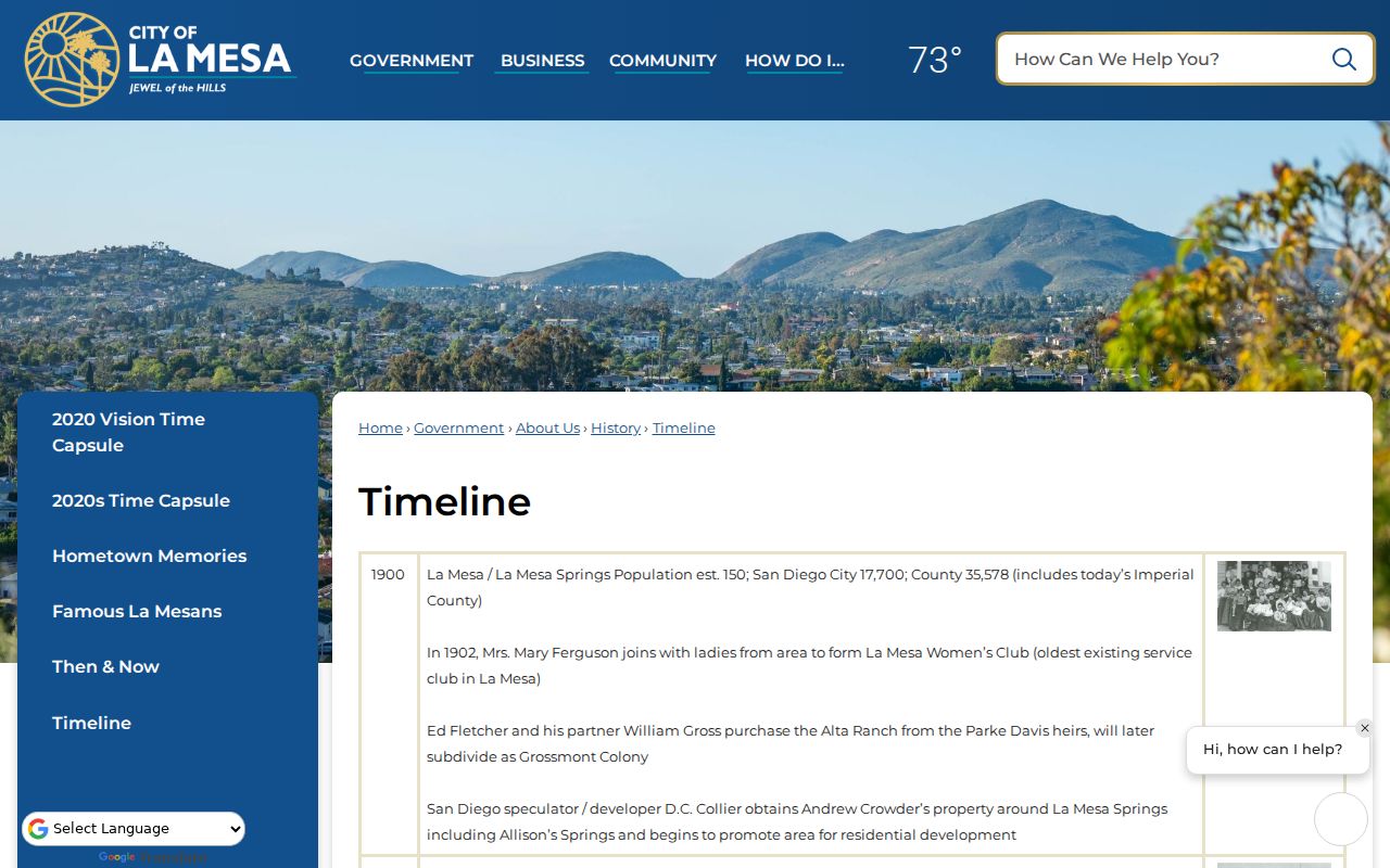
The image points to a practical rule: test old place names, intersections, parcel identity, and directory years before treating a missing match as a move.
La Mesa Past Residents Start with Parcel
Current street text is a weak long-term key. Begin with the San Diego County secured roll, search the address, and record the APN, situs spelling, map reference, and value context. Use SanGIS or ARCC mapping layers to inspect adjoining parcels. The APN is more stable than a postal label, but it identifies an assessment unit, not the people who live there.
Ownership detail is suppressed on the public Internet under Government Code § 7928.205. The assessor’s Public Information line, 619-236-3771, and ARCC kiosks can provide lawful ownership, mailing versus situs, sales, maps, and characteristics. Compare the current acquisition deed with the parcel description. If a trust, entity, or remote mailing address appears, label it as such rather than turning it into an occupant claim.
- APN
- The assessor parcel number used to join the map, roll, and recorded-property request.
- Chain of title
- A linked sequence of recorded transfers for the same legal land description.
- Legal description
- Metes-and-bounds or recorded-map language that identifies the land beyond street text.
- Grantor and grantee
- The transferor and recipient named in an instrument, roles that can change from deed to deed.
La Mesa Deed Records Backward
The backward deed method starts with the current parcel and ends when the older index, legal description, or archive route no longer joins cleanly. The ARCC Official Records Index covers real-property instruments from 1970 forward and lets a researcher search Grantor or Grantee. The index is free, but images are not displayed online. A kiosk or paper copy is needed to inspect vesting and the full legal description.
- Resolve the current address to an APN and obtain the current owner or acquisition instrument through the assessor and ARCC routes.
- Read the acquisition deed for the seller or grantor, recording date, document number, and legal description.
- Search that seller as an earlier grantee, then compare the land description rather than relying on the same street text.
- Repeat the loop until the search reaches the 1970 boundary or a name, map, and parcel mismatch needs a kiosk.
- Record uncertainty when an instrument proves a title role but does not name every household member.
ARCC mail requests need a document number, recording year, at least one party name, and document type. Online orders print the next business day and are mailed, with county guidance allowing three to five business days for delivery. Copies cost $2 for the first page, $0.05 for each additional page, and $1 for certification per document.
La Mesa Previous Residents and 1970
Older La Mesa property research moves through ARCC’s physical and archive collections. Grantor and grantee indexes cover 1846-1969, deed books reach back to 1845-1930, a numeric index spans 1872-1973, and archived Official Records cover 1931-1989. The county’s collection overview also lists maps from 1854 forward. Early instruments may be handwritten in Miscellaneous Record or record-type books with separate indexes.
AB 1785 adds a modern wrinkle. Since December 9, 2024, APN searching was removed from official-record web indexes, but APN queries remain available at five ARCC public kiosks. Thus, even a recent address history may require an in-person parcel-to-deed bridge. No online image should be expected.
The San Diego County Archives collection overview describes the older routes.
Archive depth is valuable, but certificate restrictions and reading-room rules still apply. Ask the custodian which index and image set joins a particular parcel.
La Mesa Past Residents: Occupants and Owners
Previous residents are not the same as previous owners. Polk’s street guide may show a named householder, phone, and owner or occupant mark. An alphabetical entry may add a spouse, occupation, or widow notation. A deed names the people who transferred an interest in land. A return-mail block may be a useful clue, but it is not proof of who lived there.
Keep a two-column research log. Put the directory year, exact entry, street number, and `h` or `r` mark in the occupancy column. Put the recording date, document number, grantor, grantee, and legal description in the title column. When the dates overlap, say that the sources agree on a place and time, not that one record validates every household relationship.
Reverse directories can lag a move, omit a person, or carry an old spelling. Compare adjacent editions and check the *La Mesa Scout*, yearbooks, obituaries, or a landmark nomination before closing the gap.
La Mesa Directories, Census, and Probate
A directory year is a point in time. Pair it with the nearest census schedule, then use newspapers, yearbooks, deeds, probate, and obituaries to explain a change. Census schedules through 1950 are currently public under the 72-year release rule. They can add household relationships, but historical enumeration geography and address conventions need to be matched with care.
- Find the address in the History Center’s reverse street files and note every number or name variant.
- Read the same year’s alphabetical pages for spouse, occupation, widow notation, and household abbreviations.
- Compare a nearby census year and local newspaper notice, keeping the source date separate from the event date.
- Search probate when a death or estate transfer explains a household break, then compare the case with a recorded estate deed.
- Use an obituary or cemetery record as a lead to relatives, not as a complete modern contact record.
The La Mesa city directory collections page explains the shelves and entry formats in full. A past-residents search should borrow those tools without collapsing a directory occupant into a legal owner.
La Mesa Past Residents: Maps and Permits
County maps from 1854 forward can show lot boundaries, adjoining parcels, street widths, and recorded-map references. They help explain whether a number or street name changed. La Mesa permits and code files can date physical work, inspections, sewer laterals, sidewalk changes, or right-of-way work. They do not establish a complete occupant list or prove title.
The MaintStar portal supports applications, plans, invoices, and inspection scheduling after account creation, but the public capture did not verify a historical address search or coverage cutoff. The Building counter and a focused CPRA request are the fallback. State the address, record type, and date range. City records start in the incorporation era, while county deeds and maps predate La Mesa’s incorporation.
When a property crosses an annexation or a former county service area, check the city’s General Plan and annexation materials before assuming a city permit file should exist. The custodian can explain the boundary; a directory cannot.
La Mesa Previous Residents in Archives
The California State Archives provides catalogs and research guidance for state legislative, executive, and judicial collections. County-origin material often remains with San Diego County Archives or the originating office, so a state catalog hit is a lead rather than a transfer of custody. Pair the catalog with the local archive, La Mesa History Center, San Diego Public Library, or the court business office.
The local archive scope is unusually deep. County collections include births and deaths from 1849-1986 in a bulk 1860-1956 range, marriages from 1856-2020 in a bulk 1873-1956 range, and Official Records from 1848-1959. Certificate rules remain in force even when the collection is old. The Library of Congress Sanborn collection is useful for fire-insurance maps generally, but exact La Mesa sheet years were not verified, so no unconfirmed map year should be assigned to an address.
The California State Archives is the statewide catalog route.
Use archive references to locate a custodian, then ask for the smallest record set that can answer the address question.
La Mesa Previous Residents: Lawful Research
House history and family research are legitimate uses of recorded material, but a prior address does not create a right to current contact. California’s Safe at Home program can replace a participant’s current address with a confidential mailing address. Voter data is purpose-restricted, and private group rosters, utility records, delivery data, and household-member details do not become public because a parcel is searchable.
House-history boundary. Use previous residents records to study a property, reconnect through a public institution, or trace family history. Do not use a deed, directory, or obituary to stalk, harass, intimidate, or cause unwanted contact. Verify every step with the office that holds the record.
A clean address history may end with “record not found,” “protected,” or “occupancy not established.” Those are useful conclusions. They keep a dated deed chain from becoming an unsupported claim about a living household.